Working on the ratio of coastal to normal erosion and also trying to get a feel for how many actual mountain peaks should be present in a given mountain range. Staring at topographical maps of earth doesn’t necessarily give you a good idea of how many mountain passes there are in a range, nor how sharp a lot of the gradients are. A high elevation plain looks pretty similar to nearby mountains in those maps.
There are a couple other problems related to the scale of the map(limits the amount of detail) and the limited number of height representations(plains, hills, and mountains).
Here is a pic with only the mountains eroded:
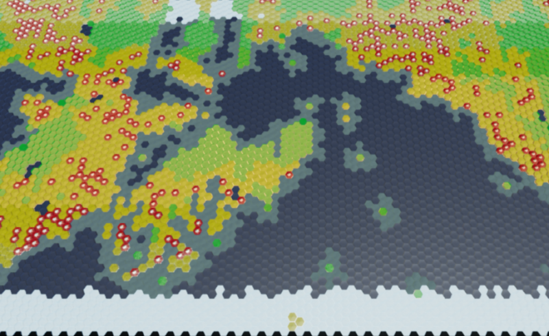
In order to get an appreciable number of mountain passes, the ranges had to be eroded quite a bit. This ratio is probably good enough for the setting, which is about the midway point for erosion. Coastal erosion will probably be pegged to the normal erosion, minus ~2(out of 9).
Will see how it looks when I add the hill erosion step.