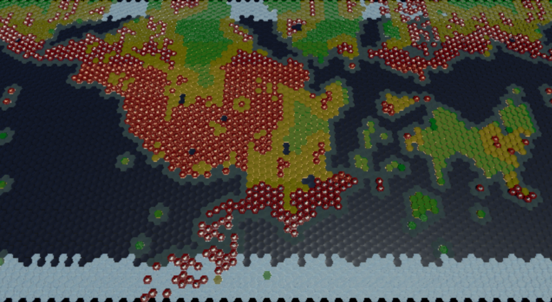
Hills now form around mountain ranges, and ancient tectonic activity is forming sporadically around the map.
And I colored the map in a topographical manner to better show this:
The only thing left to do with the tectonic boundaries would be to work out a better, more controllable method of generating them. Currently, the boundary snakes along as a specific type until it hits a spot where 3 or more plates meet, and it re-evaluates it’s boundary type. So sometimes it will continue on as the same type, and other times it will change. This generally does what I want it to do, but I have very little ability to control what boundary type goes where. Going to take some thought to come up with a better system. May move on and come back unless I can come up with a better idea this week.
A few other minor things to do such as vary and scale the hill formation and ancient tectonic activity, and I also want to apply my hill creation method to the coastal ocean tiles with a bit more randomization.
Once I work those things out, I can start working on the erosion system, which you will be able to set to do nothing, or to completely erode everything down to plains.