Here is a pic of my neighbor checks before I collapse them into functions(pure and otherwise):
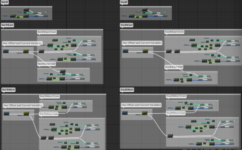
At the end of each I am setting Current Index, Current Direction Index(such as Current North Index), Current Axial, and Current Direction Axial(such as Current SouthEast Axial). I made a variable for each type and direction because I may need to simultaneously check the state of each nearby tile, such as with a coast check, so I need to store them separately.
Here is a closeup view of the NorthEast check for reference:
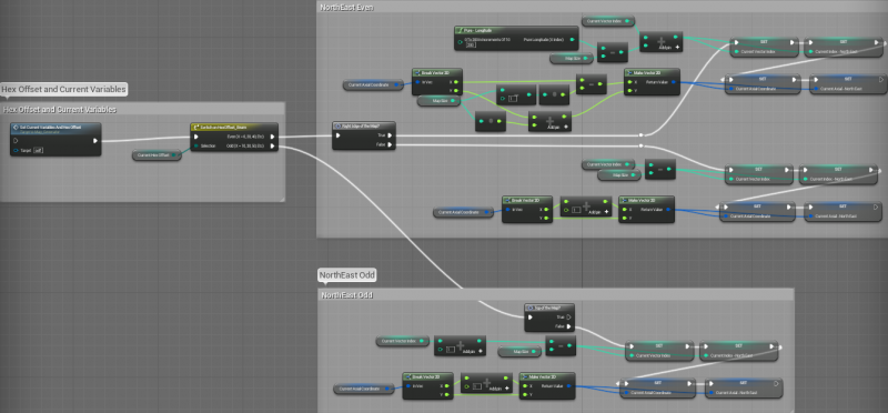
If you look at NorthEast Even, you can see the top half is wrapped, and the bottom half is for any other tile.
Each block will collapse down into ~1-3 pure functions and 1 normal function. I will be able to use one function for any given direction I want to check. My previous setup was extremely clunky, but this should hopefully let me forget about offsets and wrapping in general since it is taken care of in these functions.
EDIT: Forgot to multiply the Map Size by 2 before the X on the Axial check on the NorthEast Wrap.